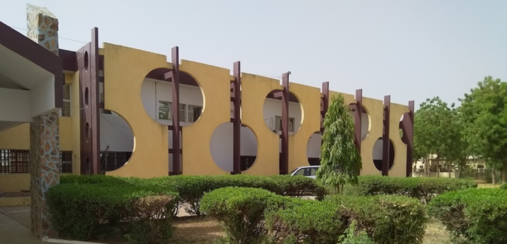
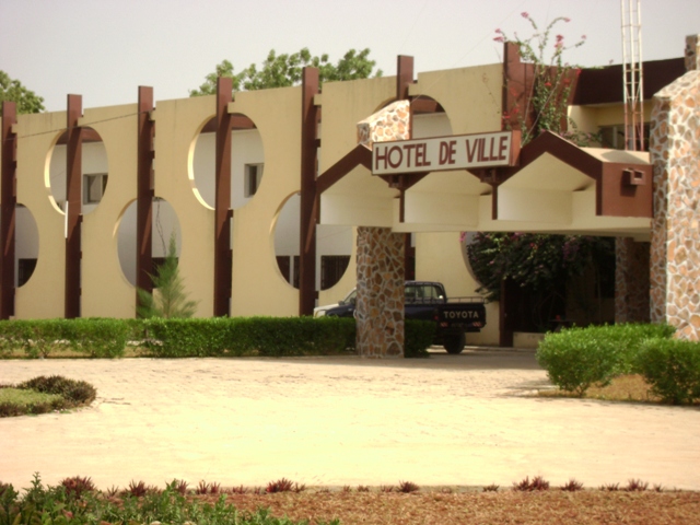
There are some interesting sites outside the city:
The Waza park
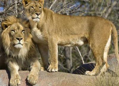
The Waza Park is a national park in Far North region in Cameroon. It was founded in 1934, as a hunting reserve, and covers a total area of 1,700 km². The park became a National Park in 1968, and is an UNESCO biosphere reserve since 1979. Waza is home for lions and elephants and in particular for one of the last populations of the Western giraffe. Kob-antelopes have increased to 5000 in the 1990s since a strong decline in the 1980s. There is an important settlement of birds in the park. How to get there? From the city of Maroua you better plan 1 and half hours to reach the Waza village and the entrance to the park. The road between Maroua and Waza is paved. There are some mini buses that will drive you there, but a better solution is to borrow an all wheel drive car, that you can use in the park. Where to sleep? The campement of Waza on the hill in the vicinity is a good place to rest and enjoy the evening after a probably stressful day.Rumsiki view
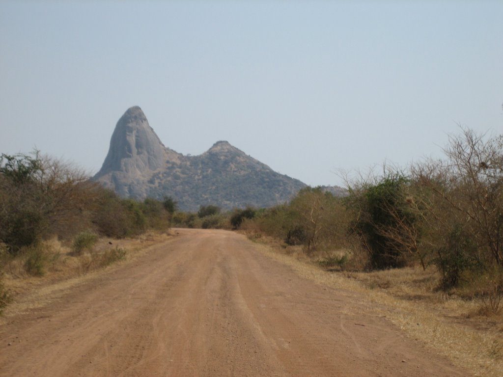
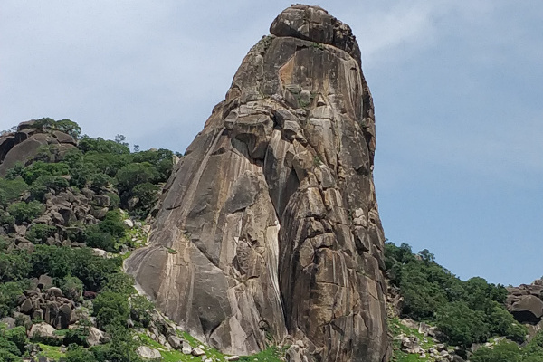
Rumsiki
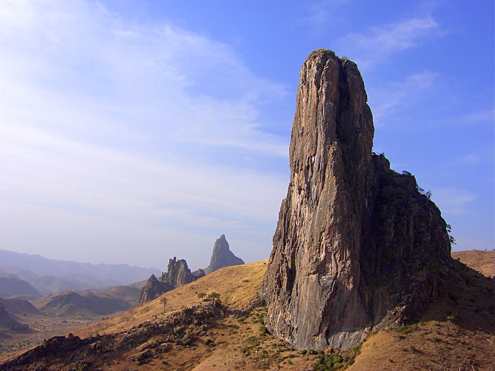
Rhumsiki is a village in the Far North Region of Cameroon. Rhumsiki is located in the Mandara Mountains about 120 km from Maroua and 3 km from the border with Nigeria. Rhumsiki is one of Cameroon’s most popular tourist attractions and “the most touristic place in northern Cameroon”. The attraction is the surrounding scenery. Writer and explorer André Gide wrote that Rhumsiki’s surroundings are one of the most beautiful landscapes in the world. The spectacular effect is created by surrounding volcanic plugs (the remnants of long-dormant volcanoes), basalt outcroppings, and the Mandara Mountains. The largest (and most photographed) of these rocks is Kapsiki Peak, a plug standing 1,224 m tall. It is even a natianol symbol, because it was once printed on some 1000 CFA bank note.Tooth of Mindif
Tooth of Mindif
The tooth of Mindif ( french: dent de Mindif) is located in the town of Mindif at about 30 km from Maroua. It is a relief that has a form of a reversed molar. The peak can be seen from Maroua.Mua Zip
Mua Zip
Mua Zip of Loulou: Loulou is a village situated in the sub division of Ndoukoula about 50 km in the south of Maroua. The peak of Loulou or “Mua zip” in Giziga the local language is considered as sacred place by the local population. On the plateau of the mountains chain of this place had settled the Giziga until the end of seventies. From the plateau they defended themself successfully against the fulbe conquerors and later against the european slaves hunters and colonisators. This explain the unsignificant presence even today of the fulbe in the region.Musgum hut
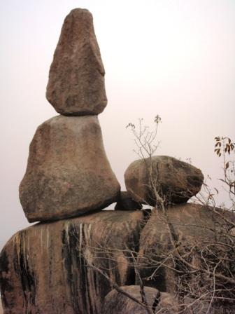
Mua Mesengel
The mua Mesengel is located in Moutourwa a sub division on the road to Maroua when coming from Garoua. Looking to your left you will discover the Mua Mesengel (name in Giziga) a nice rock.
Musgum hut
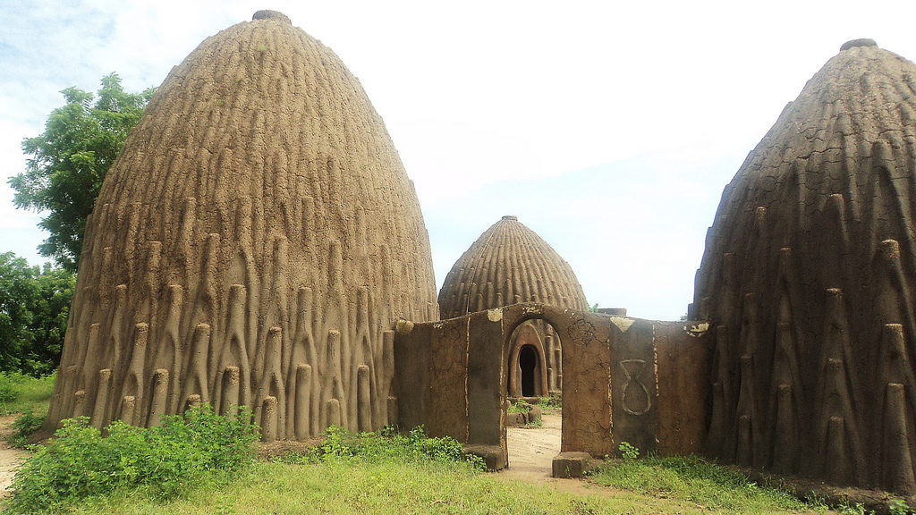
The obus huts of Pouss: The Mousgoum huts have been famous since the 19th century, but exist surely longer. Their grand size, curved features and slender shapes have surprised many travellers stopping in the Mousgoum villages. The explorers Heinrich Barth in 1852, Schweinfurt in 1868 and Nachtigal in 1872, allude to these structures in their writings as “hutshells”, a term that was later translated by the French colonisers as “cases obus”. Unfortunately, this magnificent architectural culture is slowly disappearing. The few huts still standing that one can admire, which include several in ruins, are located in the Canton of Pouss.